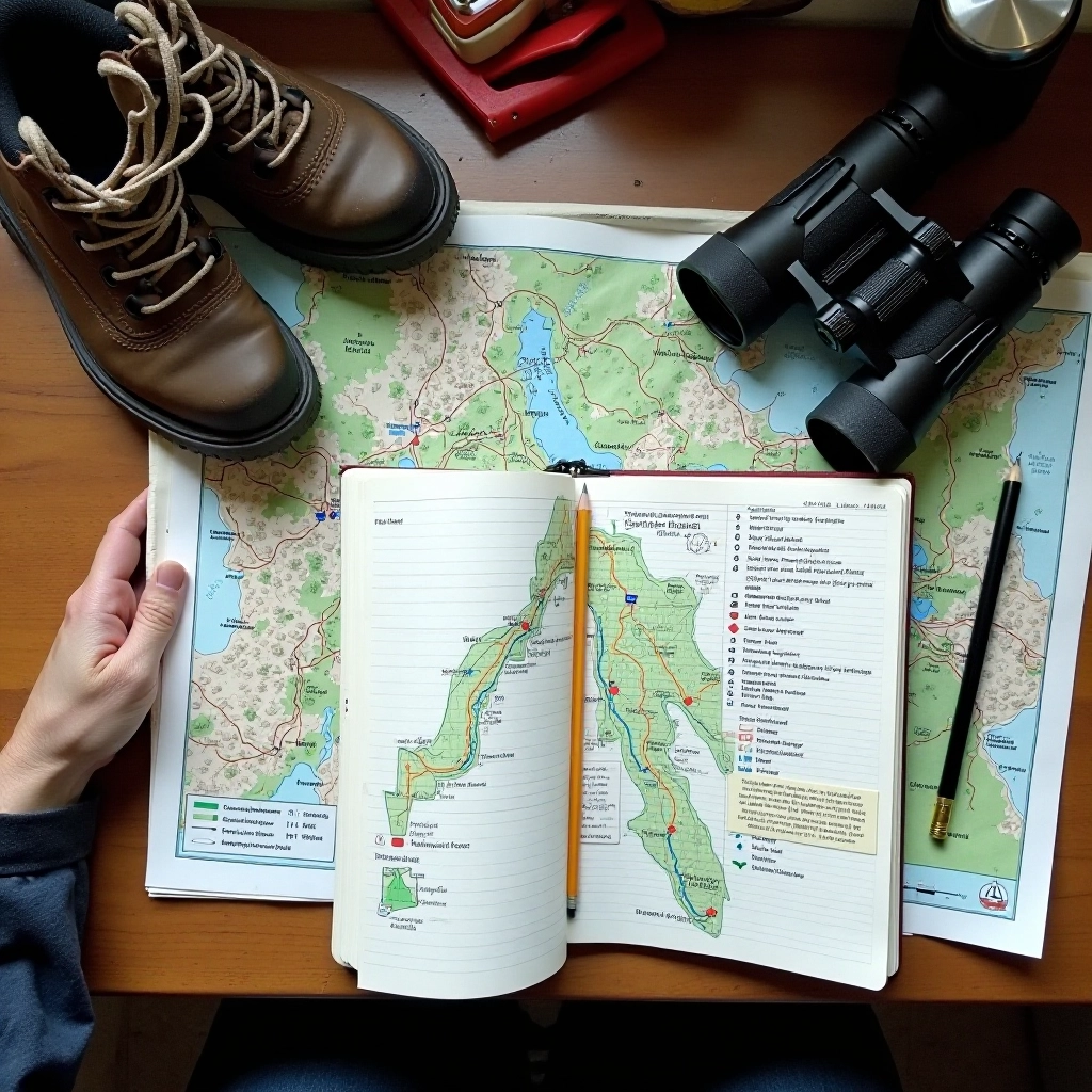
What to Expect
The Vokė Valley Loop is one of the most accessible trails in the region. It's designed for walkers who want something easy on the knees but still want genuine river views. You'll spend most of your time at a gentle pace — there's no rush here.
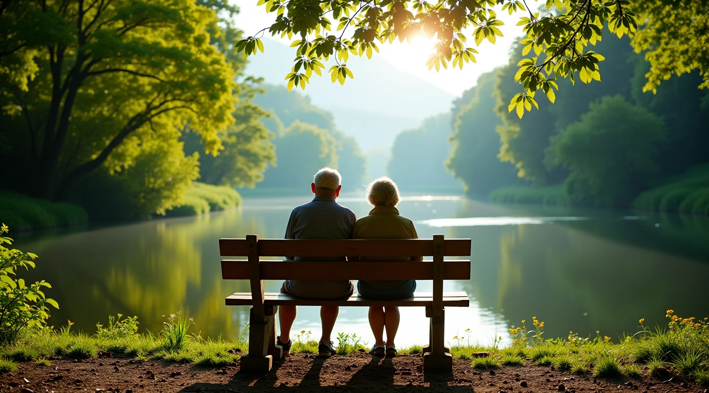
The loop follows a well-maintained path through mixed woodland and open meadow sections. You're never more than a few hundred meters from the water. The three main viewpoints are clearly marked, and each one has benches where you can stop and just sit for a bit.
The Route Breakdown
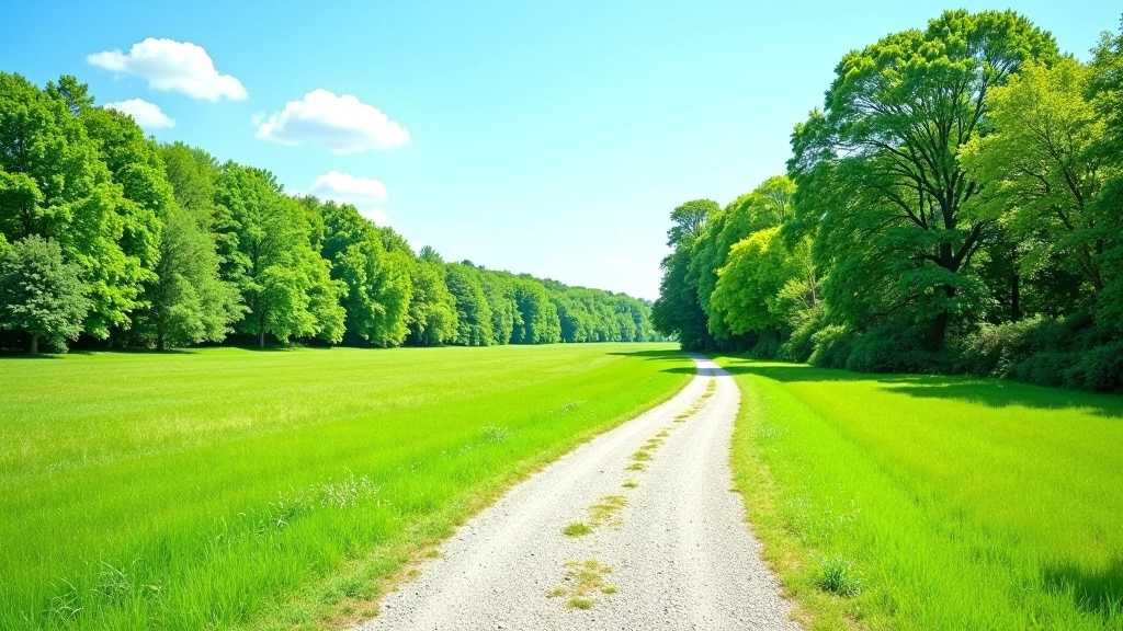
Starting from the parking area near the visitor center, you'll head north along the valley floor. The first 800 meters are almost perfectly flat — this is your warm-up section. The path is wide here, and you'll see other walkers regularly.
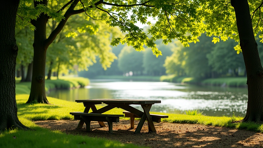
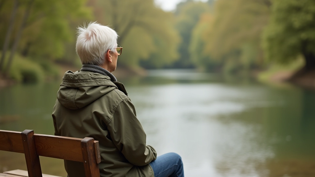
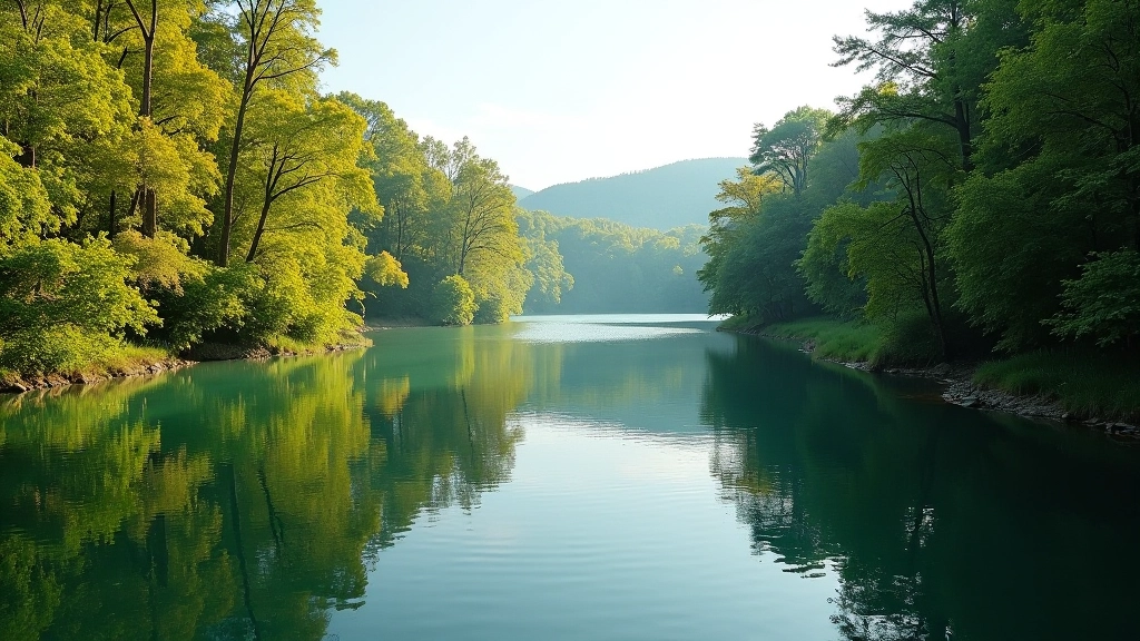
At the 1km mark, you'll reach the first viewpoint. This overlooks a bend in the river where the water moves slowly and reflects the sky. It's a good spot to catch your breath and take a photo. There's a bench here facing the water.
From here, the path climbs gently for about 600 meters. Don't let that word "climbs" worry you — we're talking maybe 20 meters of elevation gain over that distance. You'll notice the tree cover changes as you move higher. Birch and oak replace the willows near the water.
The Three Viewpoints
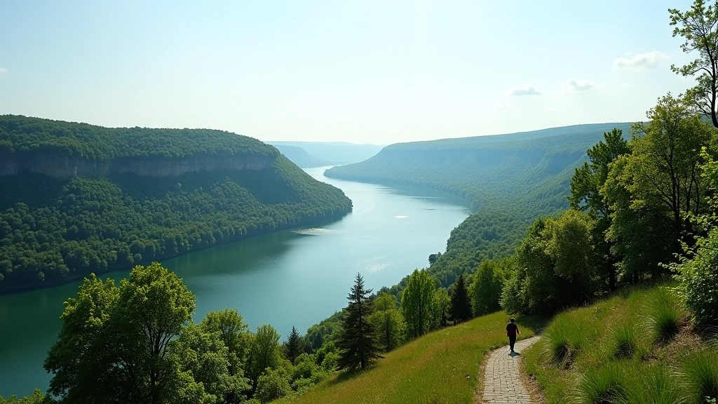
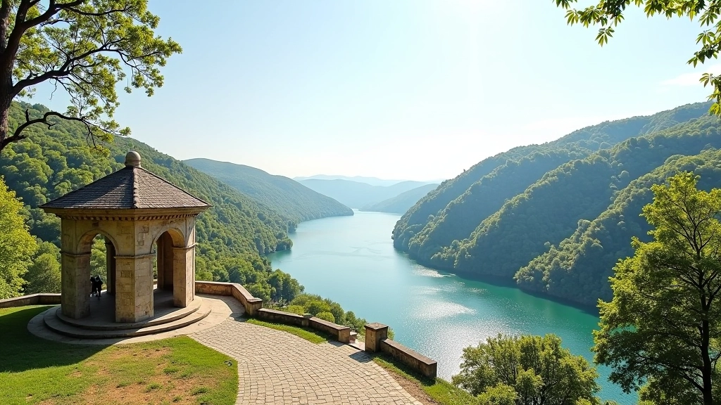
The second viewpoint (around 2km) is where most people linger. The valley opens up here, and you can see nearly 2km downstream. On clear days, you'll spot the old stone bridge that connects the northern parishes. This is the highest point on the loop, and honestly, it's worth the slight climb.
The third viewpoint comes at 3.2km, just as the path turns back toward the starting area. This one's different — it's lower and more intimate. You're closer to the water here, and you might see riverside birds. Herons and kingfishers aren't uncommon if you're patient and quiet.
Between the second and third viewpoints, you'll pass through a section of restored riparian woodland. These trees were replanted about eight years ago. They're not tall yet, but they're creating shade and habitat. The forest management work here is quite visible if you know what to look for.
Practical Things You'll Want to Know
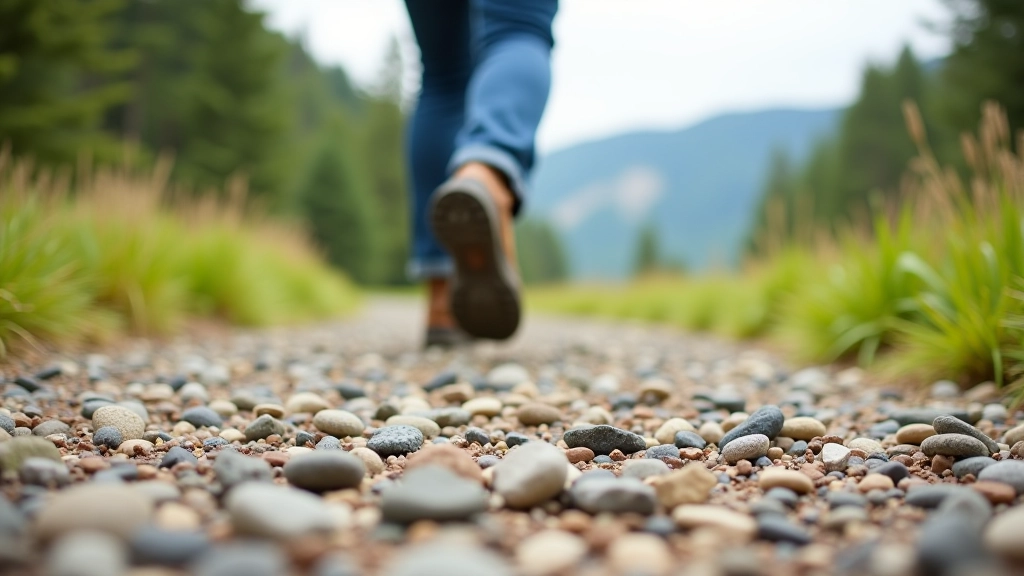
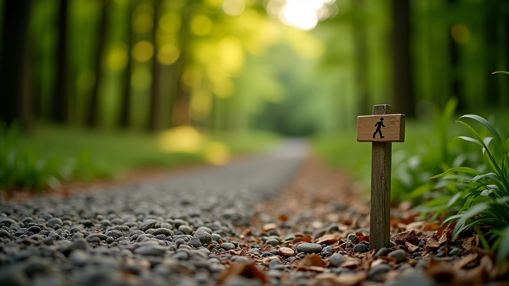
The surface is gravel and compacted earth for most of the route. It's well-maintained and dries quickly after rain. You'll want shoes with decent grip, but you don't need anything fancy. Regular walking shoes work fine.
Benches appear roughly every 500 meters, which is useful if you're someone who likes to rest frequently. That's not a criticism — it's exactly how the loop was designed. Taking breaks to look at the river is kind of the point here.
Water access isn't reliable along the route itself. There's a fountain at the visitor center before you start. We'd recommend filling a bottle there. The walk takes 60 to 90 minutes depending on how often you stop, so bring enough water for that duration.
The best times to walk are early morning (before 10am) or late afternoon (after 4pm). You'll have the path much quieter then, and the light on the river is better for photography if that matters to you.
Seasonal Changes
Spring (April–May) is when the path gets busiest. The wildflowers start appearing, and everything's green and new. The water's higher from snowmelt, so the river looks impressive.
Summer (June–August) is pleasant but warm. Midday walks can feel hot on the open sections. Morning and evening walks are much more comfortable. The trees provide good shade on the wooded parts.
Autumn (September–October) might be the best time. The light's softer, the temperature's ideal for walking, and the colors change gradually. Fewer people are around too.
Winter (November–March) is walkable but the path gets muddy in places. It's not impossible, just less pleasant underfoot. The river is beautiful in winter though — the contrast between the dark water and the bare branches is striking.
Why This Walk Works
The Vokė Valley Loop succeeds because it doesn't try to be something it's not. It's not a challenge hike or a remote wilderness experience. It's a straightforward, well-maintained walk through beautiful river country with good stopping points and river views.
You'll walk 4km. You'll see the river from three different angles. You'll probably sit down at least once. And you'll come back feeling like you've had a proper outing without feeling exhausted. That's exactly what makes it worth doing.
Disclaimer: Choose activities that match your fitness level, check local conditions before traveling, and speak with your GP if you have health concerns before starting a new activity. Trail conditions can change seasonally. Always check current weather and park access before your visit.